Diskussion:Chile
aus Degupedia, der freien Wissensdatenbank
| Inhaltsverzeichnis |
Weitere Studienorte (Degu-Studien)
Study sites from north to south:
- Fray Jorge (near La Serena, Coquimbo, around 30° S, 400 km N of Santiago)
- Aucó (near Illapel, around 31° S, 300 km N of Santiago)
Santiago de Chile (33 °S):
- Rinconada de Maipu (Estacion Experimental, Universidad de Chile, 30 km
SW from Santiago)
- Lampa (capture site for degus, 30 km NW of Santiago)
- Quebrada de la Plata ("Silver Canyon", 30 km SW from Santiago)
- Ocoa (biggest palm forest of the endangered Chilean wine palm, once an important resource for our degus, Parque Nacional La Campana; cf. Zunino et al. 1992)
- San Carlos de Apoquindo (1100 m altitude, 20 km E of Santiago; cf. Jaksic 2001)
Literature:
- Contreras, L., J. Torres-Mura, J. Yanez (1987): Biogeography of Octodontid rodents: An eco-evolutionary hypothesis. Fieldiana: Zoology, New Series, 39: 401-411.
- Ebensperger, L.A. Hurtado, M.J. (2005): On the relationship between herbaceous covervigilance activity of degus (Octodon degus). Ethology 111: 593-608. (PDF (http://www.bio.puc.cl/downloads/pdf/lebensperger.2005.002.Hurtado.pdf))
- Jaksic, F. (2001): Spatiotemporal variation patterns of plants and animals in San Carlos de Apoquindo, central Chile. Revista Chilena de Historia Natural 74(2): 477-502. doi:10.4067/S0716-078X2001000200021. (HTML (http://www.scielo.cl/scielo.php?pid=S0716-078X2001000200021&script=sci_arttext&tlng=pt))
- Zunino, Saiz & Yates (1992): Uso del espacio, densidad de Octodon degus y oferta de recursos en Ocoa, Parque Nacional La Campana, Chile. Revista Chilena de Historia Natural 65: 343-355. (PDF (http://rchn.biologiachile.cl/pdfs/1992/3/Zunino_et_al_1992.pdf))
Quelle: http://deguworld.proboards.com/thread/9522#ixzz2hCYRRJWV
--davX Literatur 08:01, 9. Okt 2013 (CEST)
Noch mehr Studienorte (Meserve et al. 1981b)
- Fray Jorge: Schamberger & Fulk 1974; Fulk 1975
- Rinconada de Maipú: Fulk 1975
- Fundo Santa Laura: Glanz 1977a, b
- Cerro Potrerillos: Glanz 1977a, b
- Zapallar-Los Molles: Glanz 1977a, b
- Fundo San Carlos de Apoquindo in Los Dominicos (33°23'S; 70°31'S; 950 m): Meserve et al. 1981b
J.Mamm. 1981, 62(2): 391-396 / http://www.jstor.org/stable/1380722
--davX Literatur 00:20, 31. Okt 2013 (CET)
Kartenmaterial
Karten sind ein wichtiges Thema zur Verbesserung der Orientierung in der chilenischen Geografie, welche nötig ist für ein besseres Verständnis der verschiedenen Ortschaften, Flüsse, Gebirge, Studienorte usw.. Der folgende Abschnitt soll deshalb dieses Themengebiet näher beleuchten und interessante Quellen auflisten.
U.S. Mapping Agency
Ein guter Anhaltspunkt für Karten bietet die U.S. National Imagery and Mapping Agency:
- Latin America Maps (http://www.lib.utexas.edu/maps/jog/latin_america/)
- Übersicht der Karten (http://www.lib.utexas.edu/maps/jog/latin_america/index_map.jpg) (gelb markierte Quadrate = Karte verfügbar, weiss = nicht verfügbar)
Norden
- Aguas Blancas, Chile (http://www.lib.utexas.edu/maps/jog/latin_america/txu-oclc-224571178-sg19-02.jpg) (24°-25° S)
- Chanaral (Küste), Chile (http://www.lib.utexas.edu/maps/jog/latin_america/txu-oclc-224571178-sg19-05.jpg)
- Taltal, Chile (http://www.lib.utexas.edu/maps/jog/latin_america/txu-oclc-224571178-sg19-06.jpg)
- Karte sg19-10: fehlt
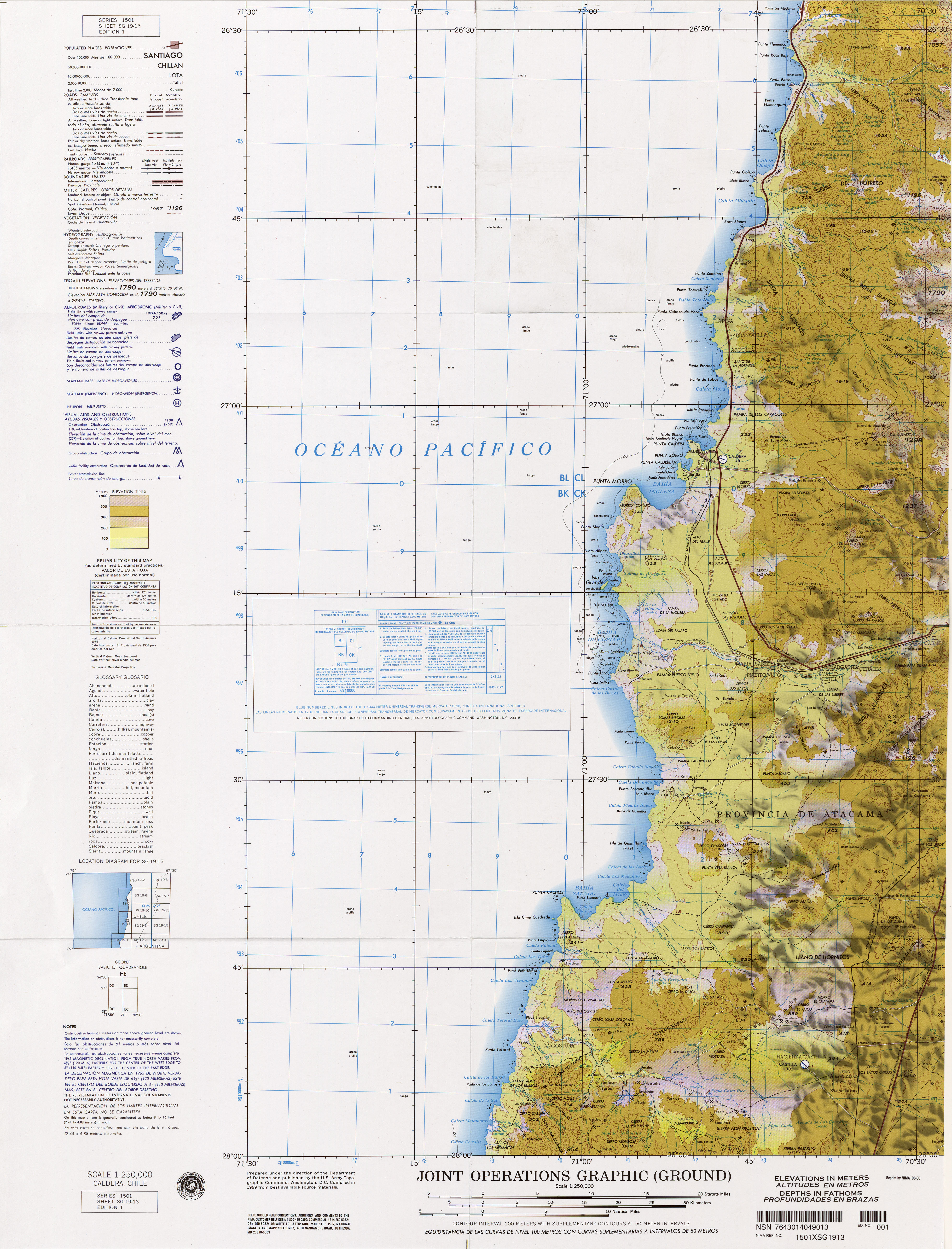
- Caldera (Küste), Chile (http://www.lib.utexas.edu/maps/jog/latin_america/txu-oclc-224571178-sg19-13.jpg) (26°30'-28° S)
- sg19-14
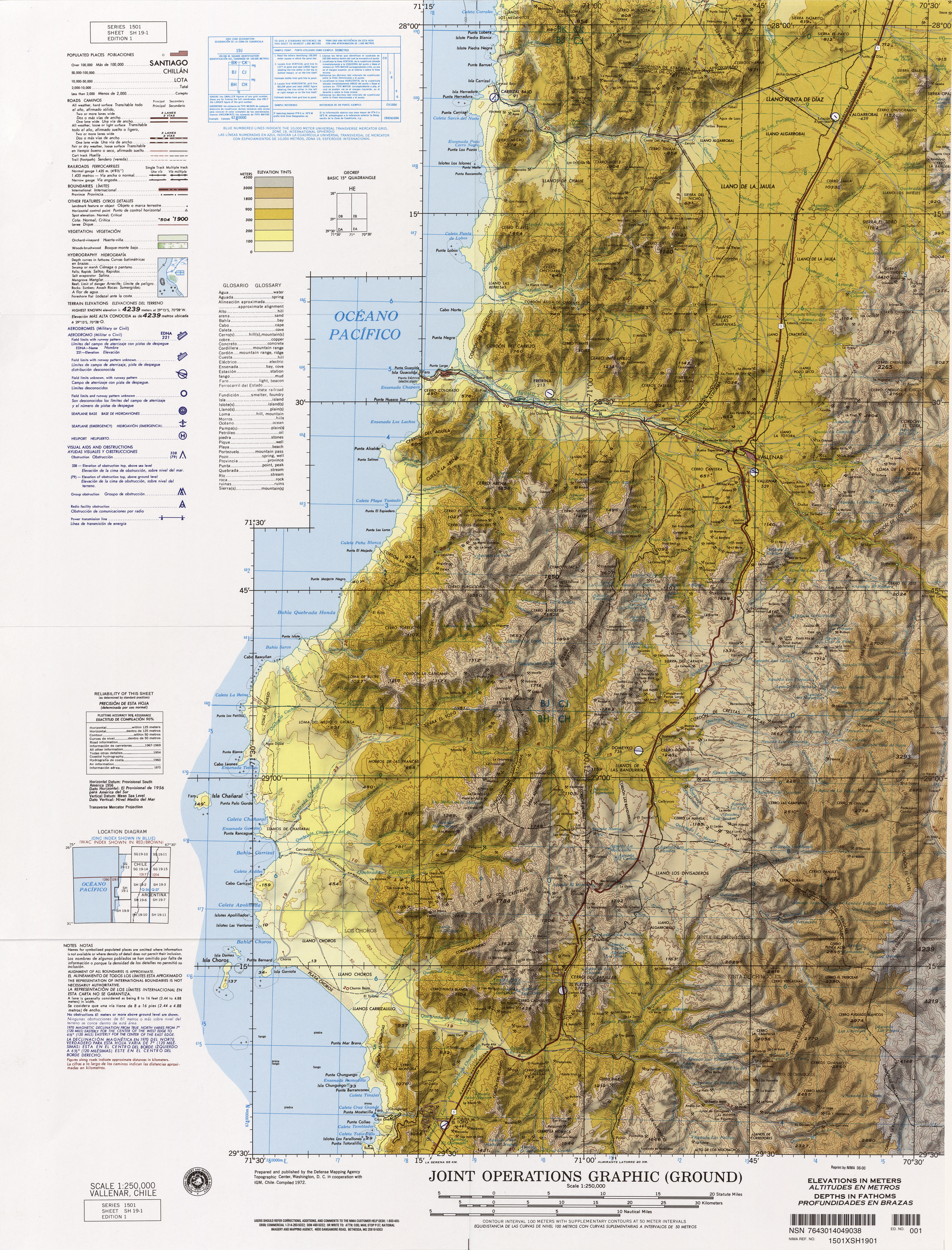
- Vallenar, Chile (http://www.lib.utexas.edu/maps/jog/latin_america/txu-oclc-224571178-sh19-01.jpg)
Coquimbo
- La Serena, Chile (http://www.lib.utexas.edu/maps/jog/latin_america/txu-oclc-224571178-sh19-09.jpg)
Mittelchile
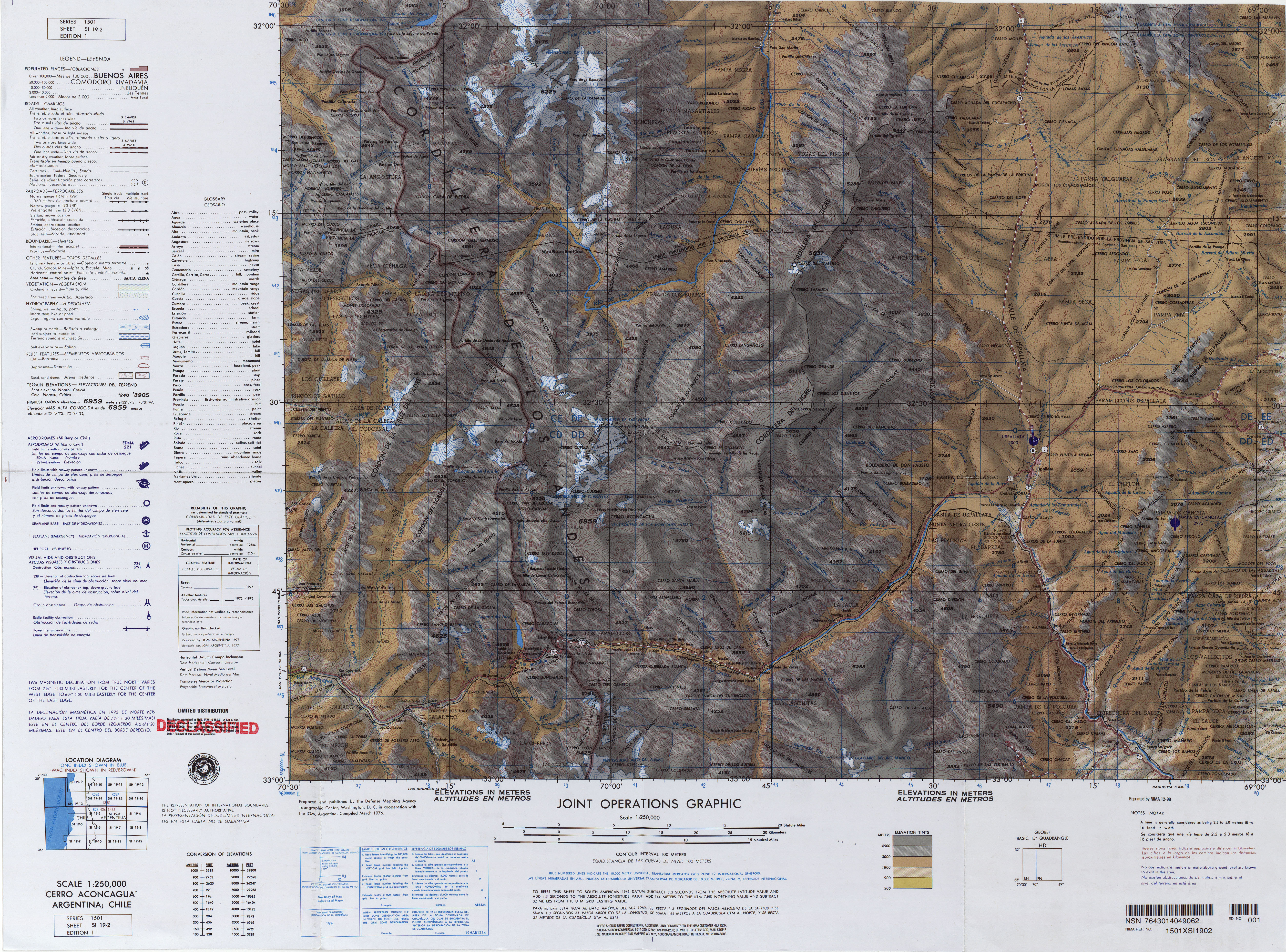
- Cerro Aconcagua (http://www.lib.utexas.edu/maps/jog/latin_america/txu-oclc-224571173-si19-02.jpg) (32°-33° S)
Süden
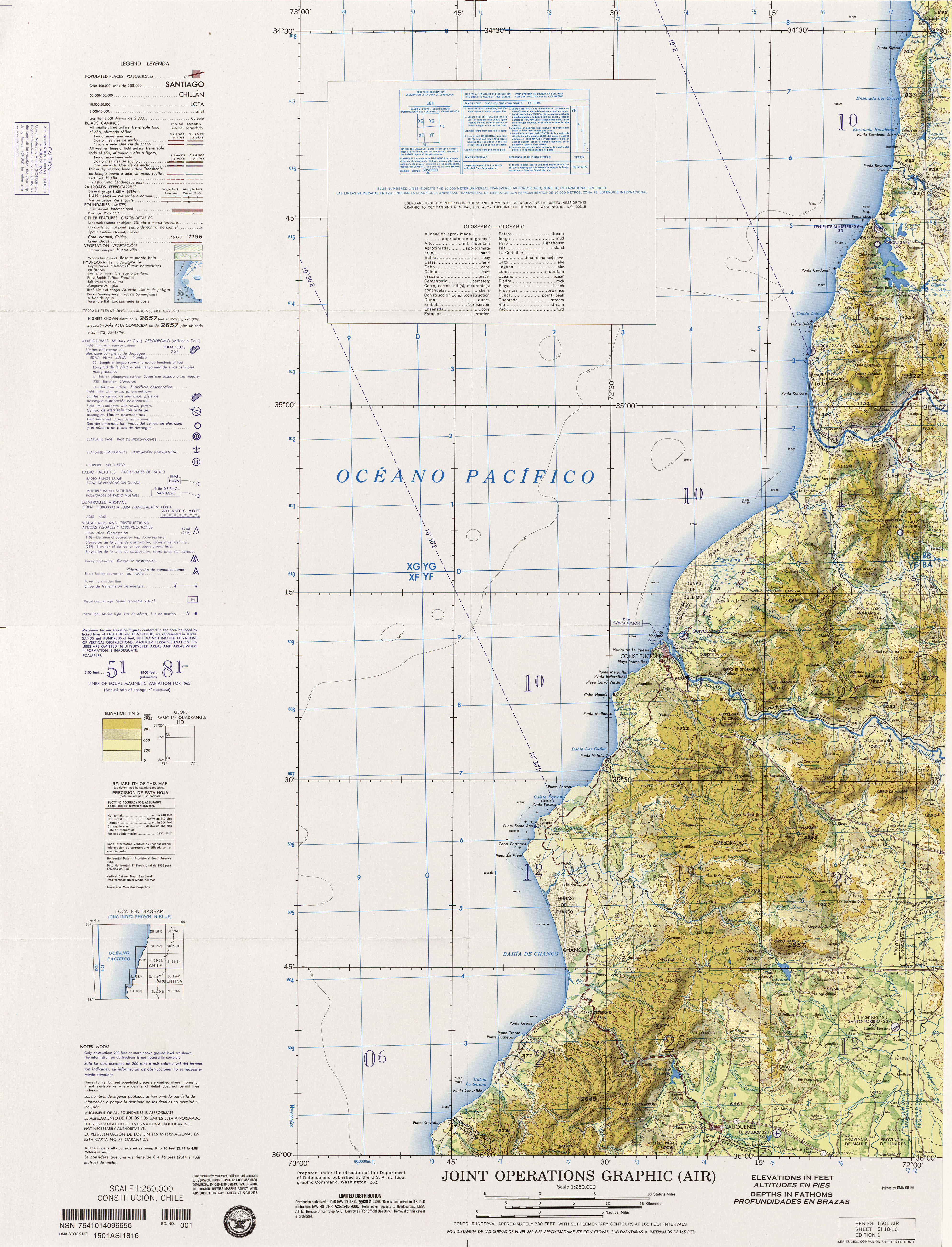
- Constitution (Küste), Chile (http://www.lib.utexas.edu/maps/jog/latin_america/txu-oclc-224571178-si18-16.jpg)
- Conception, Chile (http://www.lib.utexas.edu/maps/jog/latin_america/txu-oclc-224571178-sj18-04.jpg)
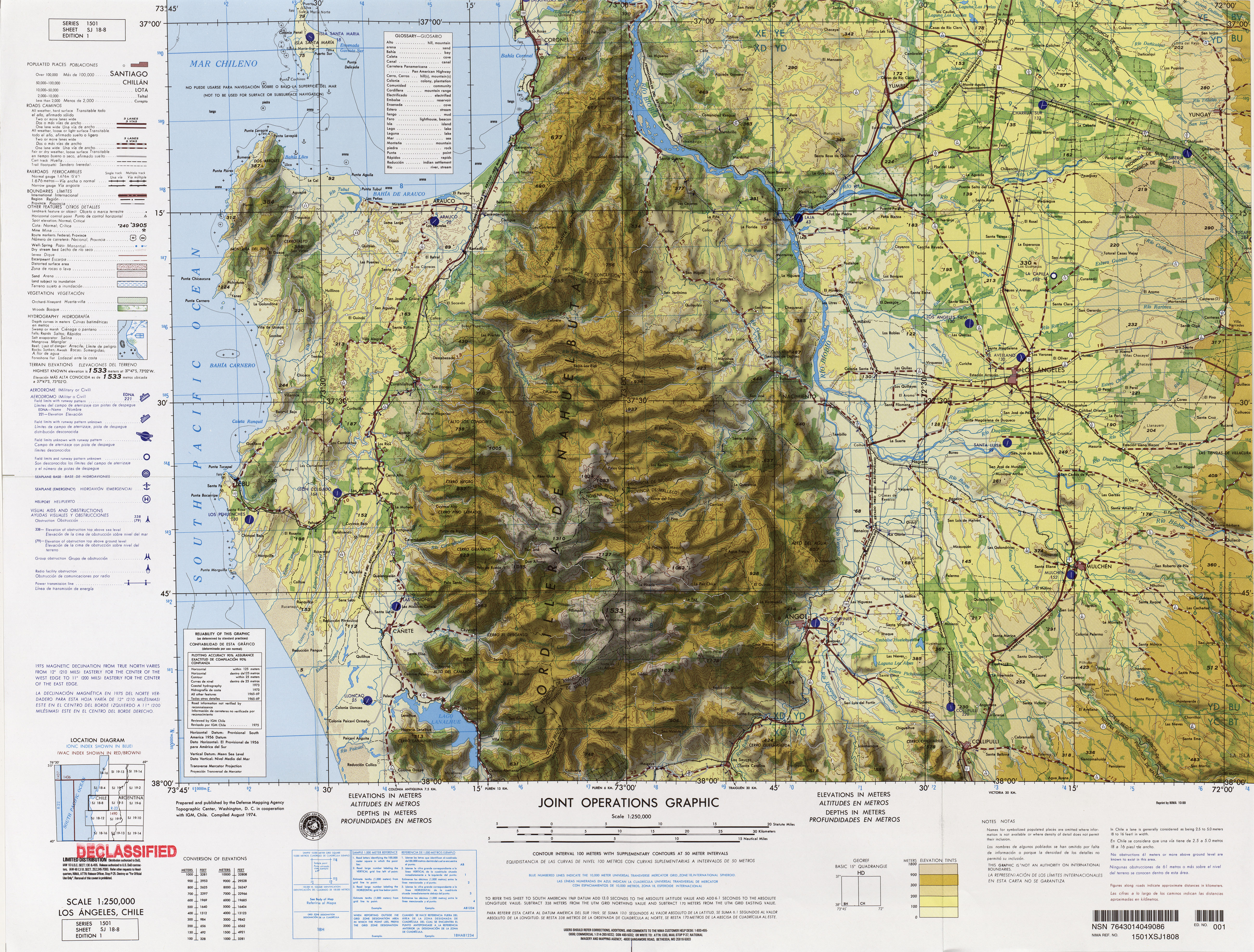
- Los Angeles, Chile (http://www.lib.utexas.edu/maps/jog/latin_america/txu-oclc-224571178-sj18-08.jpg)
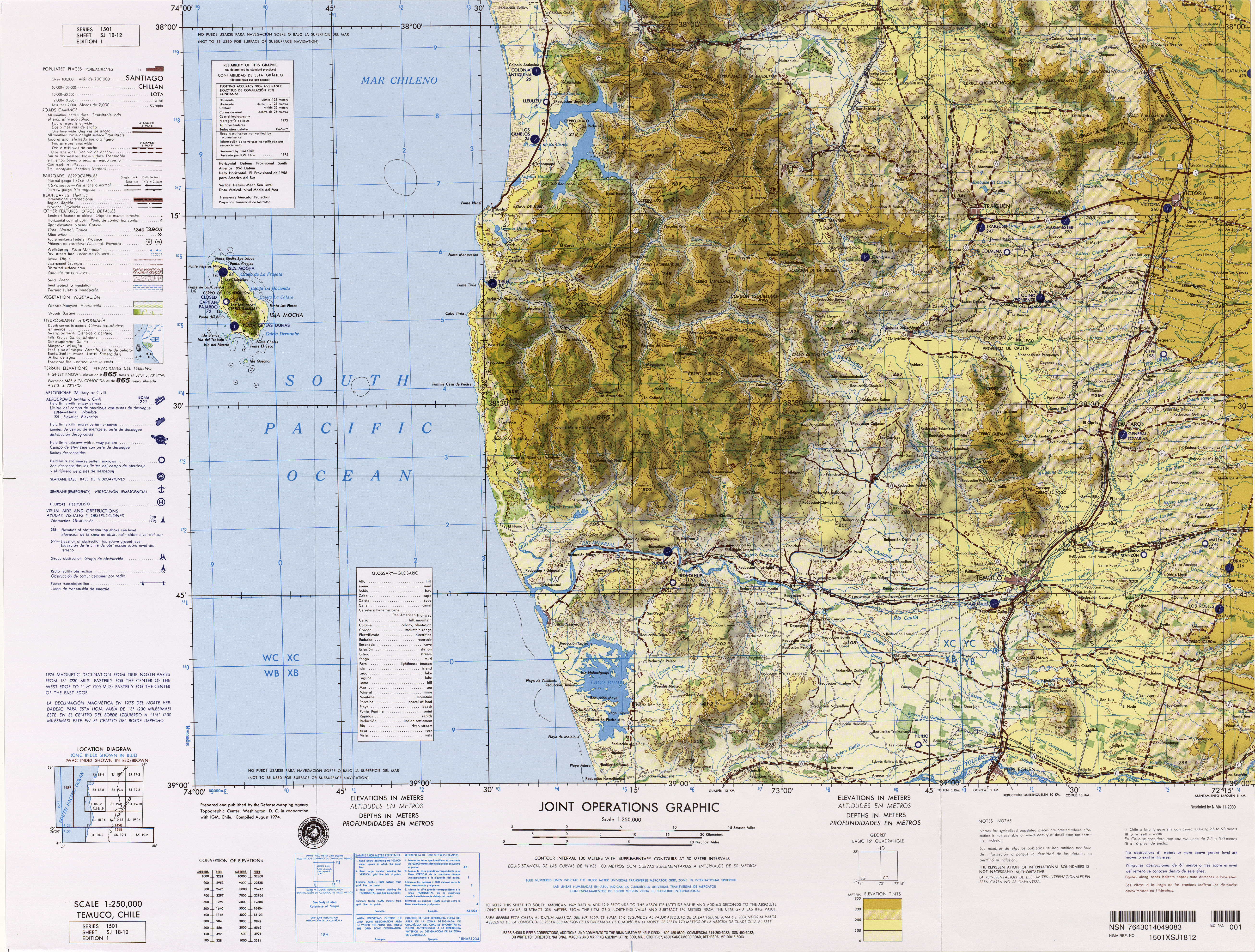
- Temuco, Chile (http://www.lib.utexas.edu/maps/jog/latin_america/txu-oclc-224571178-sj18-12.jpg) (Commons (http://commons.wikimedia.org/wiki/File:Txu-oclc-224571178-sj18-12.jpg))
Karte zu Nahuelbuta, Imperial, Temuco, Tirua, Traigen, Victoria, Isla Mocha - Valdivia, Chile (http://www.lib.utexas.edu/maps/jog/latin_america/txu-oclc-224571178-sj18-16.jpg)
Weitere Karten


